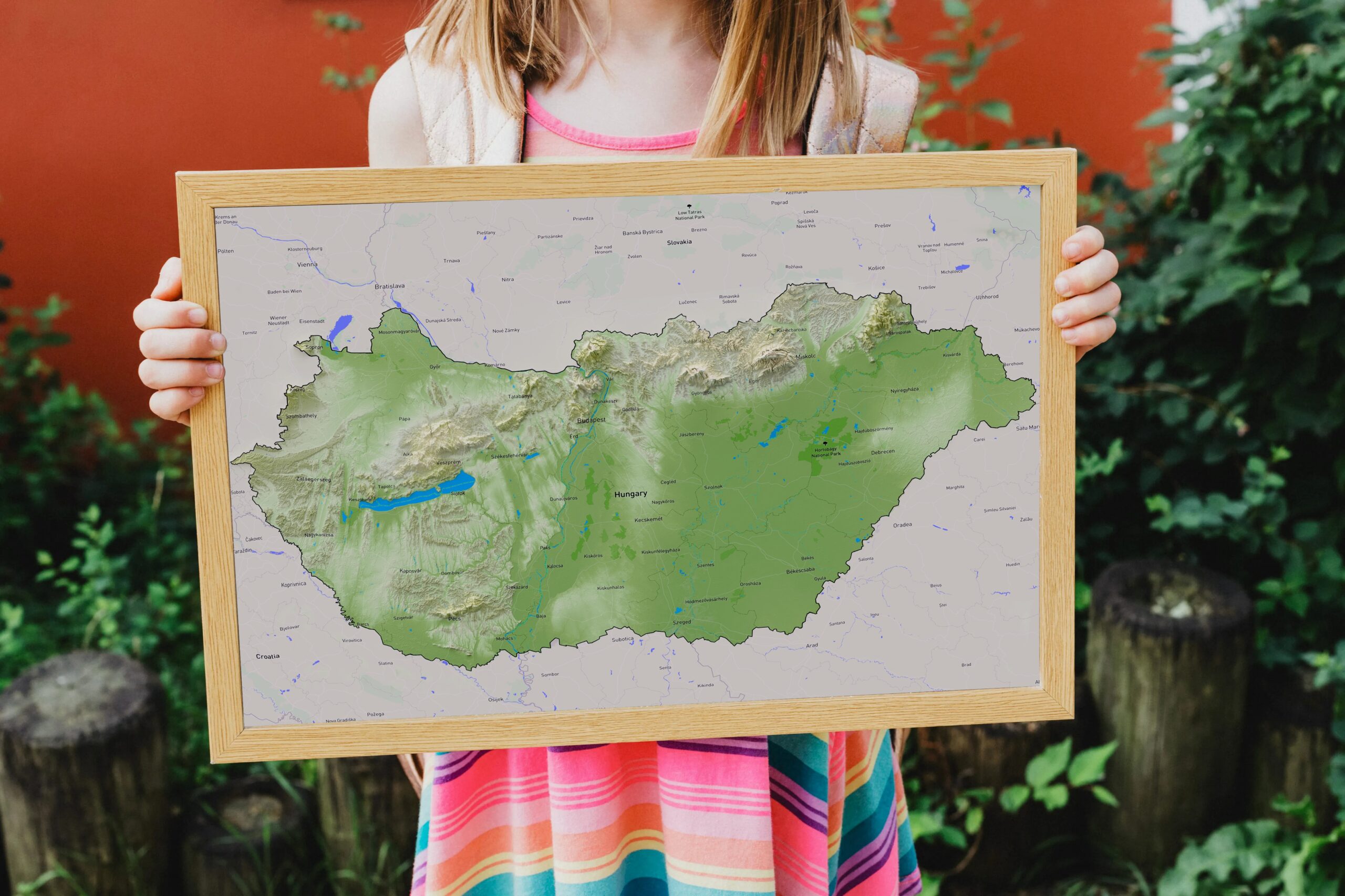
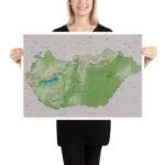
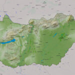
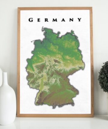
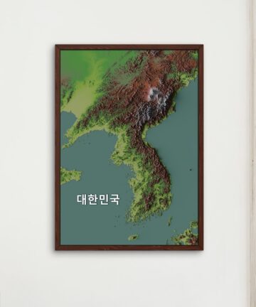
Ever wonder what the lowest or the highest province in Hungary is? Wonder no more and astound your friends with this fantastic poster of Hungary’s relief map.
The relief landscape is based on Copernicus a constellation of satellites that make a huge number of daily observations – taking advantage of a global network of thousands of land, air, and marine-based sensors to create the most detailed pictures of Earth.
Added to this data is realistic shading and lighting which ultimately creates the image.
Overlaid on top of the Elevation model is a modern street map.
All of our images are printed at a minimum of 250DPI and usually 300DPI+ which is the top of the industry standard. Be assured that the final product will be even crisper and look better since the preview images you are seeing are compressed for faster loading times.
The final version is printed using professional-grade printing to ensure the sharpest quality and most accurate coloring.
Museum-quality posters made on thick and durable matte paper. Add a wonderful accent to your room and office with these posters that are sure to brighten any environment.
The map uses Mapbox and OpenStreetMap and their data sources. To learn more, visit https://www.mapbox.com/about/maps/
Frame is not included
Museum-quality posters made on thick and durable matte paper. Add a wonderful accent to your room and office with these posters that are sure to brighten any environment.
• Paper thickness: 0.26 mm (10.3 mil)
• Paper weight: 189 g/m² (5.57 oz/y²)
• Opacity: 94%
• ISO brightness: 104%
• Giclée printing quality
• 21 × 30 cm posters are size A4
• Blank product sourced from Japan




There are no reviews yet.