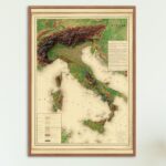
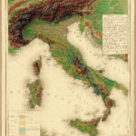
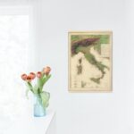
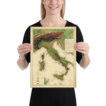
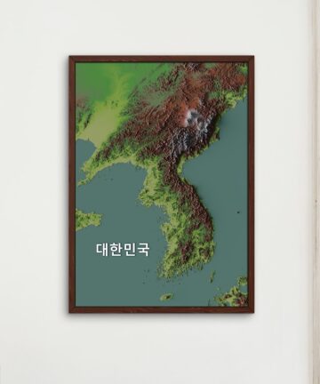
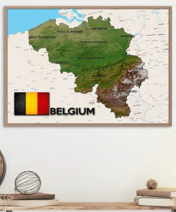
The base is made up of a modern relief map which was created with the use of satellite imagery. Then shadows and lighting were added to create a 3d effect with Blender (3d rendering software)
On top is overlaid a vintage map of Italy from 1884 combining the best of what modern and vintage maps has to offer.
Please zoom in and see the magnificent details of the image. You can spend hours looking at and exploring this fantastic piece of art. Also, note that this website compresses the image so the actual print will be even better with more detail – I promise!
I do not however recommend using this map for navigation purposes 😂
Museum-quality posters made on thick and durable matte paper. Add a wonderful accent to your room and office with these posters that are sure to brighten any environment. However, they are not scratch proof and I recommend unrolling only when you are ready to mount them on your wall.
• Paper thickness: 0.26 mm (10.3 mil)
• Paper weight: 189 g/m² (5.57 oz/y²)
• Opacity: 94%
• ISO brightness: 104%
• Giclée printing quality
• 21 × 30 cm posters are size A4
• Blank product sourced from Japan



There are no reviews yet.